On leaving Cape Scott Provincial Park, we stumbled across Ronning’s Garden. We’d actually tried – and failed – to find it the day before, as our GPS wasn’t working and the location didn’t come up on a map. For the record, it’s on the road between Holberg and the park. The garden was established by Norwegian settler Bernt Ronning, who moved into the area in 1910. He planted all sorts of interesting flowers and trees, and meticulously maintained the grounds. After his death, the surrounding rainforest began overtaking the space, but recently some volunteers have re-established it. While it was a lovely and serene spot for a walk, I’d be more interested to check it out in spring, when the flowering plants are likely to be in bloom.


We also missed a turn while looking for the Goodspeed Fossil Bed and somehow ended up most of the way to Coal Harbour. We were pretty far down the road by the time we realized, so we just went with it. There is a museum there, down by the marina, but we were in a bit of a rush, having arrived by mistake. We did make a quick stop at the Hornsby Heritage Park. This town has been a failed mining town, a military base, and a whaling station. As of late, it’s a great spot to begin a kayaking trip or a fishing charter, and has a small but growing arts community.

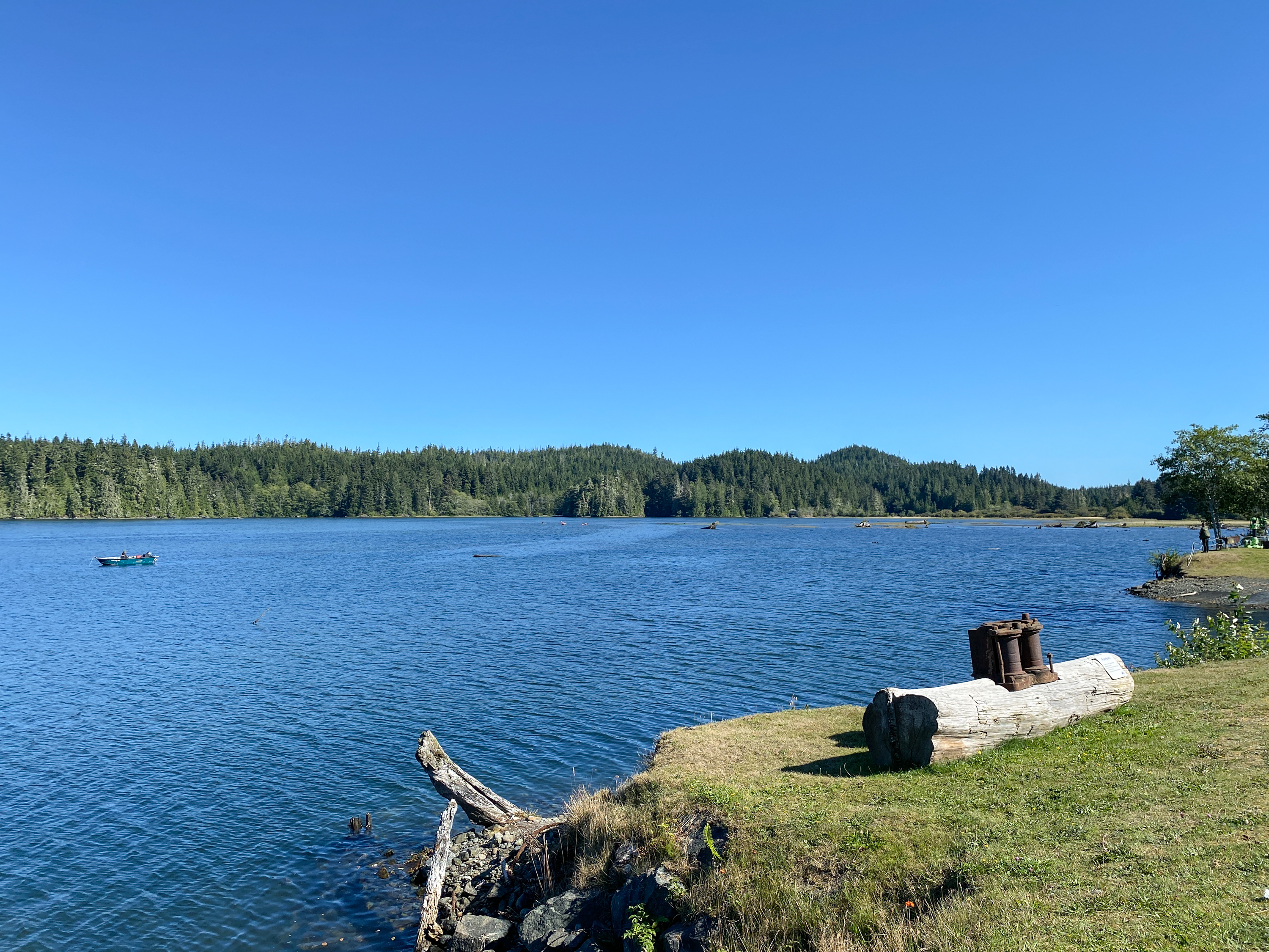
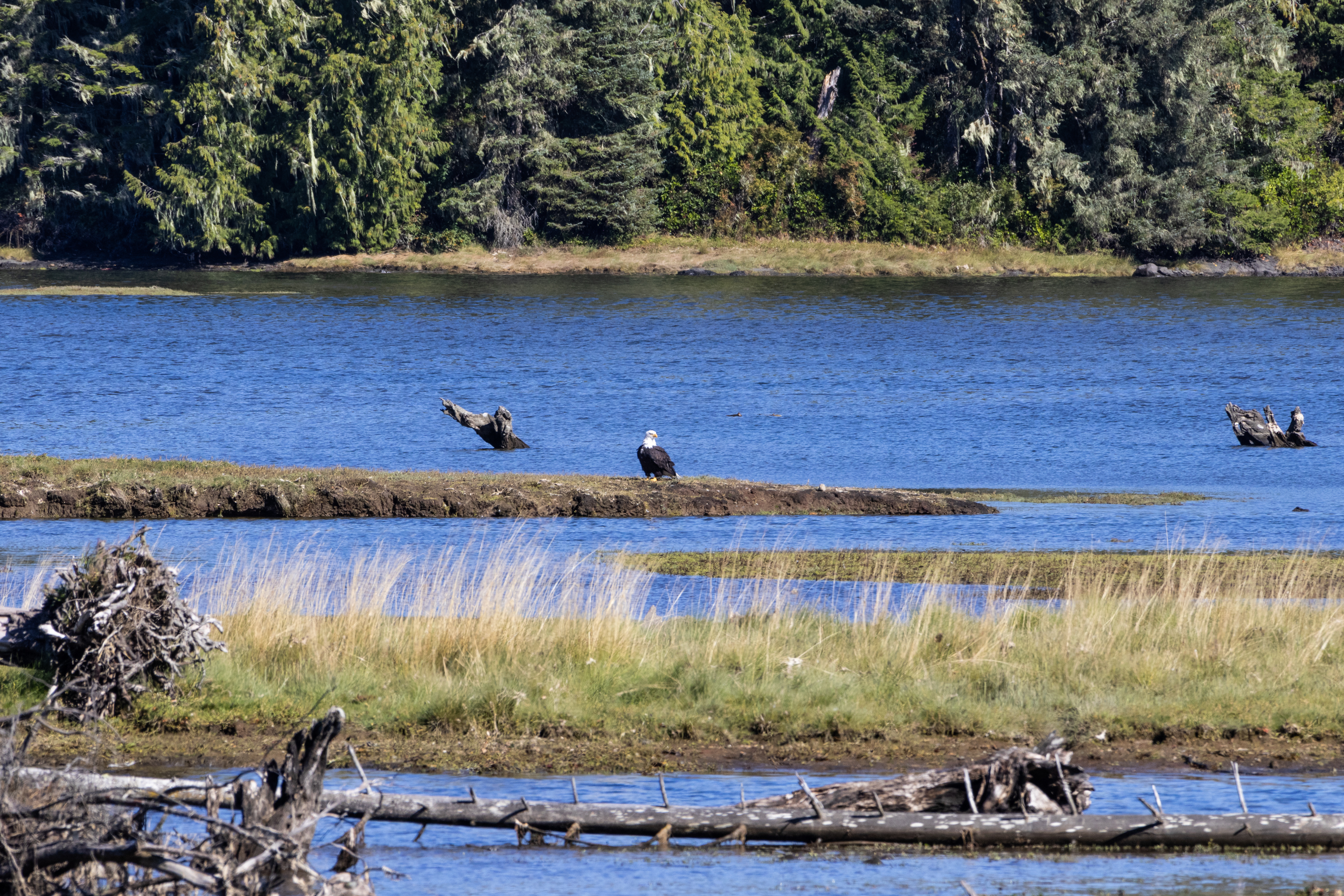
After a long day of driving and navigation mishaps, it was good to sent up tents at the Quatse River campground in Port Hardy. This is a beautiful spot along the river, and the Quatse River Loop trail runs through it. We went for a long walk and saw water teeming with salmon, startled a harmless snake, and spotted a pair of eagles and several other birds in the beautiful estuary.


The next day, we had 6 hours to drive the 47 km to Telegraph Cove, and decided to spend some of the time driving the Alice Loop. The operator of the visitor’s centre in Sointula recommended it to us, and it sounded like the perfect way to fill a day.
The first stop was Eternal Fountain, a little window in the earth where an underground stream shows off a bit before disappearing again into a cavern. The surrounding forest is full of karst features, where the stream can be seen running along the floor of the sunken caves.


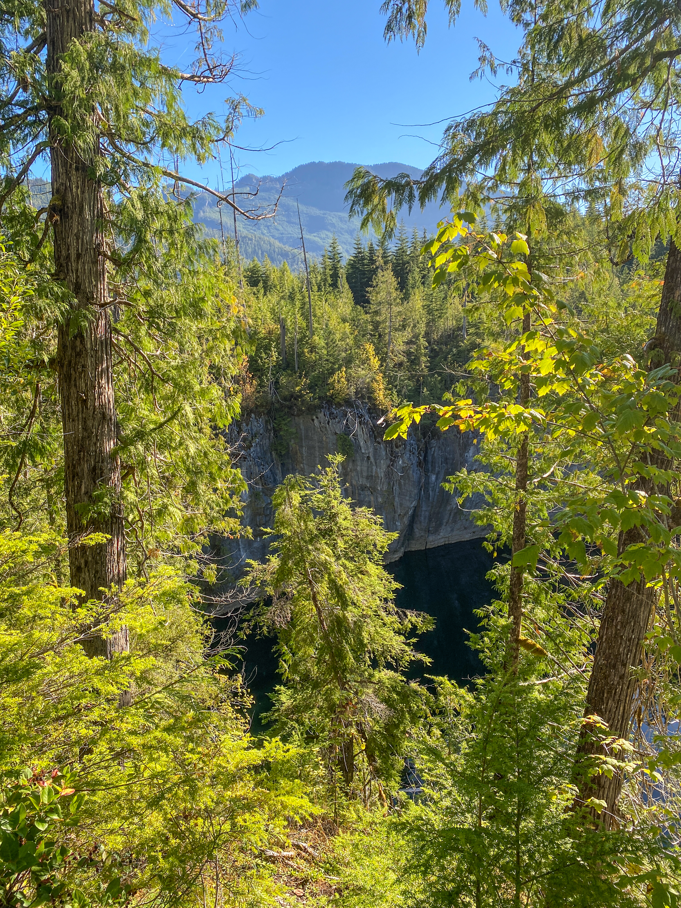
Our second stop was at Devil’s Bath, one of Canada’s largest cenotes. This flooded sinkhole is 359m around and 44m deep. The morning seemed the wrong time of day to check it out, the sun rising over the opposite bank made everything bright and difficult to see. But it was still fascinating to stand on an overlook and ponder the depths of the thing – that’s about equivalent to a 13-14 storey building!
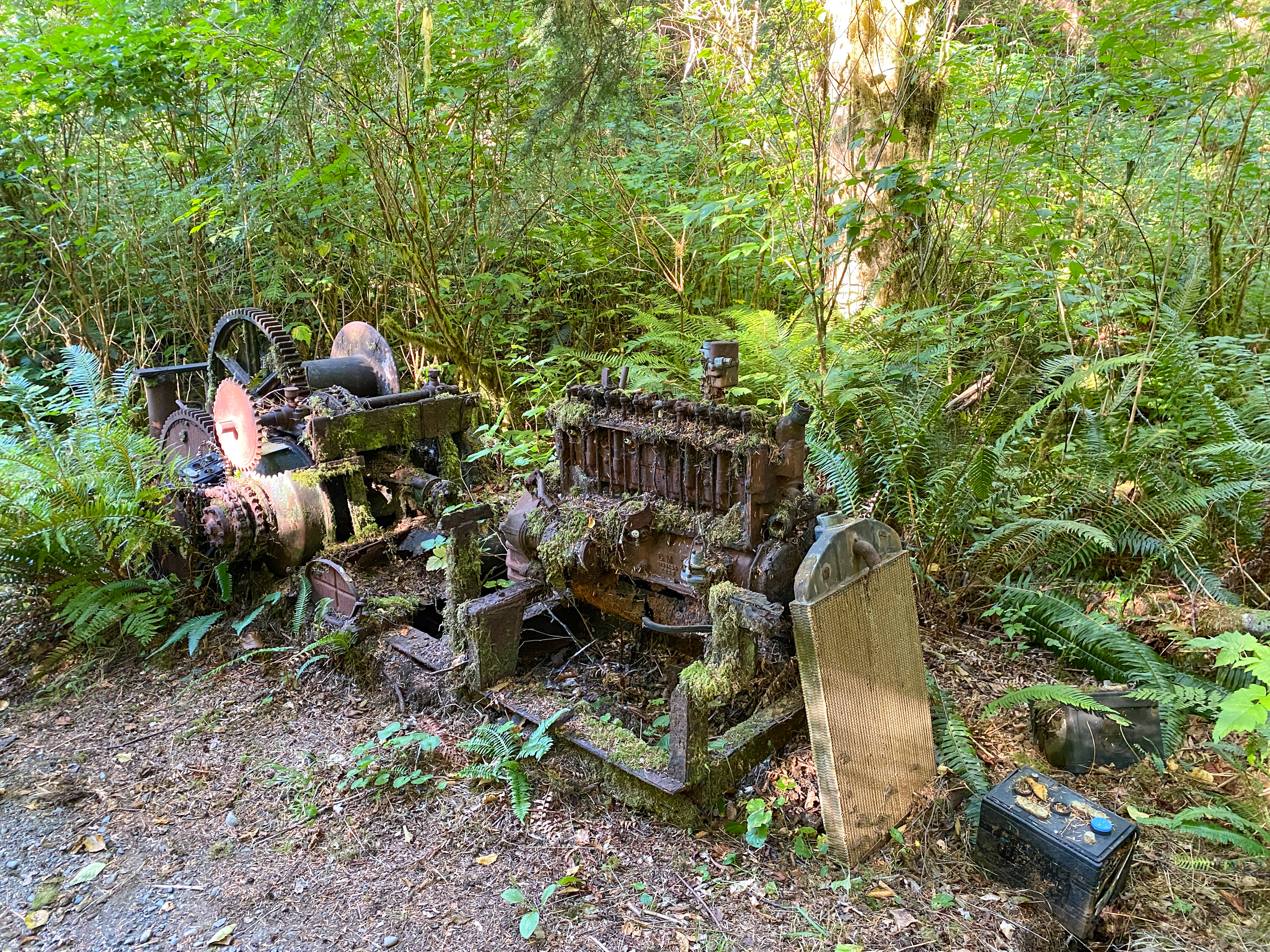
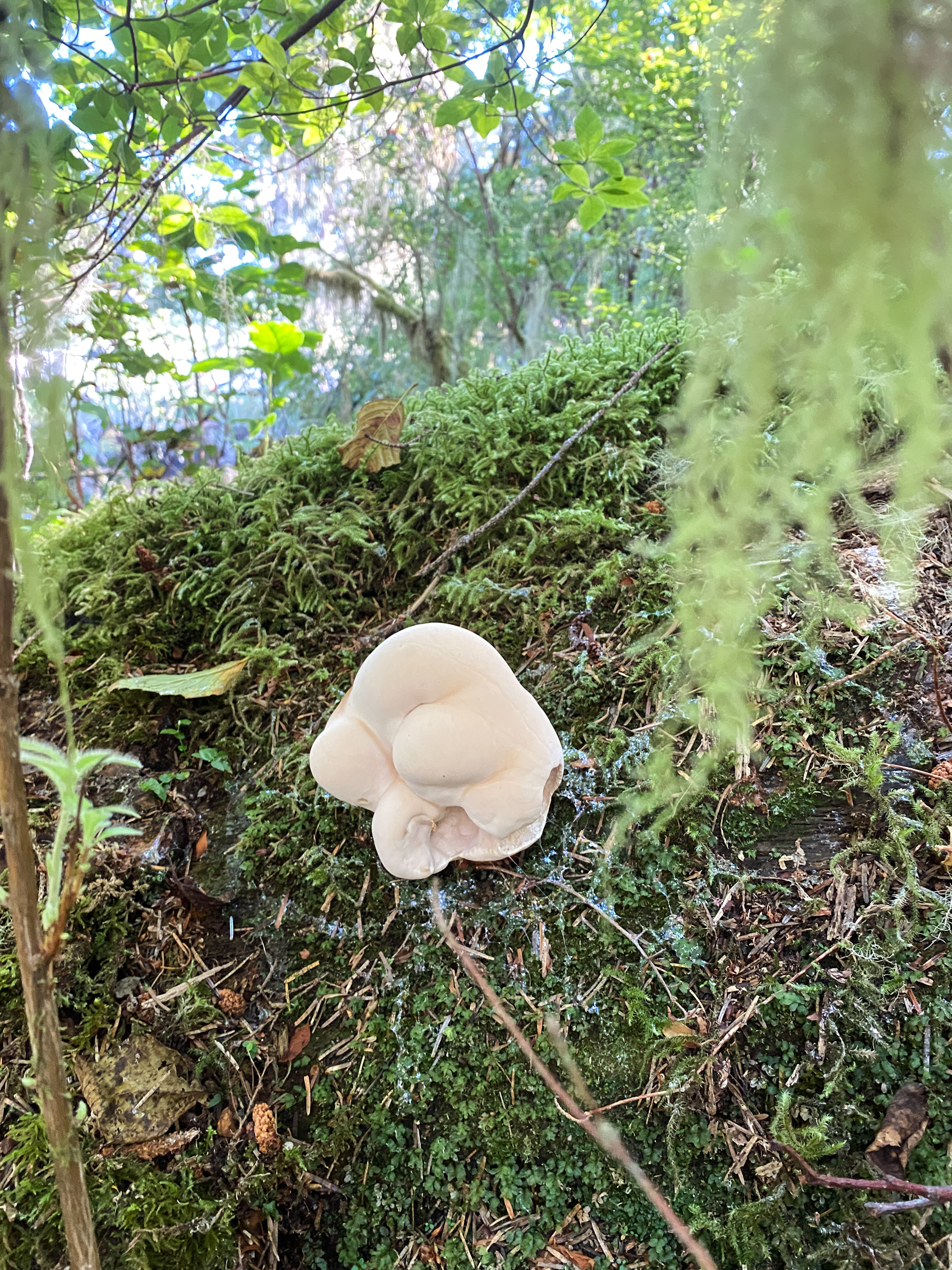
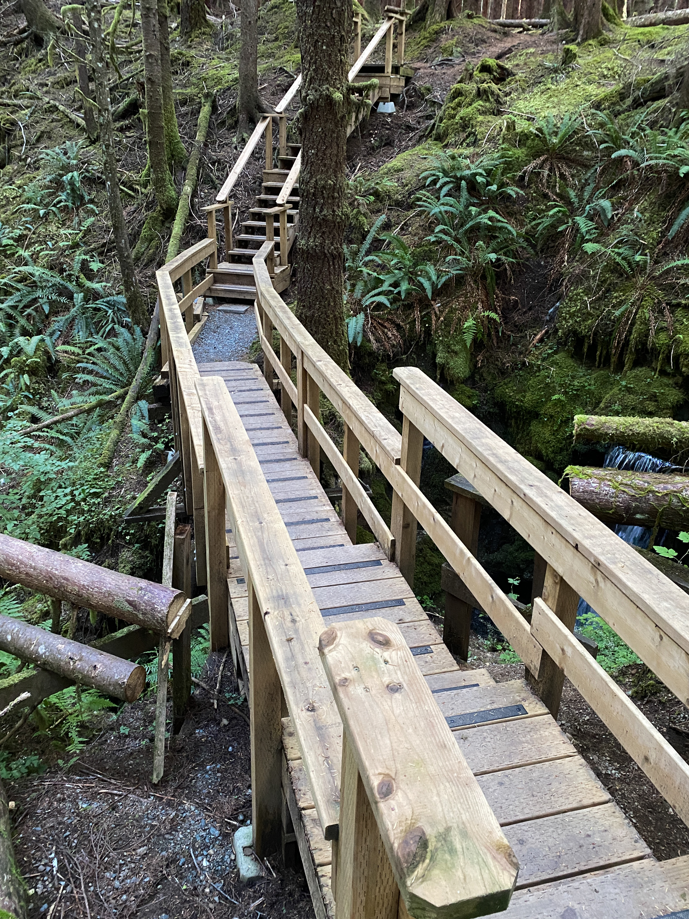
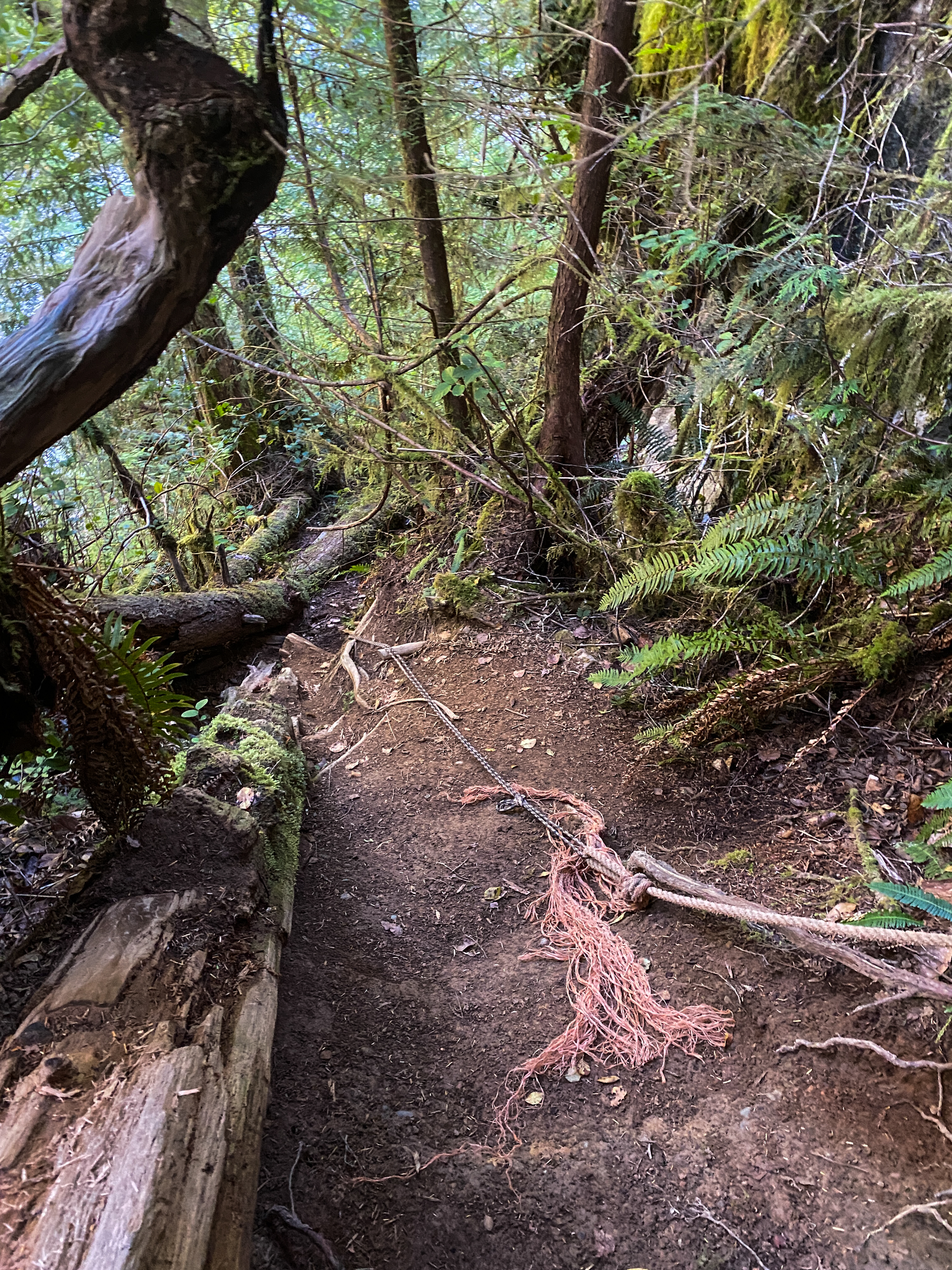
There was also a “dangerous” trailhead marking the way to the Benson River caves. “What does ‘dangerous’ mean, exactly?” we pondered aloud. My sister and I have fairly similar levels of risk tolerance, so in the end we decided to go as far as we were comfortable. The trail was narrow and winding, uneven and covered in jagged stones and roots. At one point we walked across a log bridge with no railing, at another we ducked under three large tree trunks resting over the trail. “Dangerous” seemed a little too ominous, until we reached a steep embankment leading down to the river that was navigated by climbing almost straight down with the support of a frayed and weathered old rope. And so doubting our ability to climb back up, that is where we turned back.
Port Alice itself is a really lovely small town. The spot is beautiful, and a well put together local directory helped us find the Foggy Mountain Coffee Co. where the chai was, according to my sister, “actually spicy.” As it should be.
